Seismic Data Management Workflows
Troika software enables building of efficient workflows to populate, verify, index, and future-proof corporate and national seismic data repositories and restore confidence in data management databases. Solutions are also provided for remote robotic tape management and verifying datasets for workstation use. Troika’s seismic data management experts deliver and support packaged solutions using appropriate software modules, optionally integrated with the client’s existing systems, to meet specific requirements.
Software is available to perform detailed quality control, including visualisation of relevant seismic attributes, extraction, and repair of metadata and GIS-ready navigation merge. Tools are available to easily and efficiently remotely-control data input and output data from multiple tape devices in different locations. Disk data trawling and seismic library modernisation can be performed extremely efficiently using automated workflow capabilities. The software can confirm or – when required – implement compliance to industry standards; enable de-duplication to optimise storage efficiency and verify datasets for problem-free workstation uploading.
- Easy-to-use predefined workflows
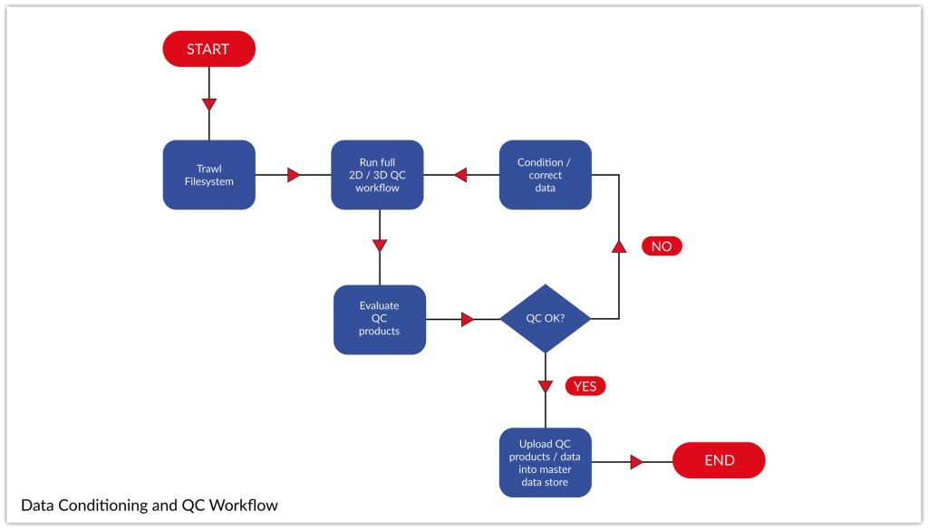
- Quality control and attribute visualisation
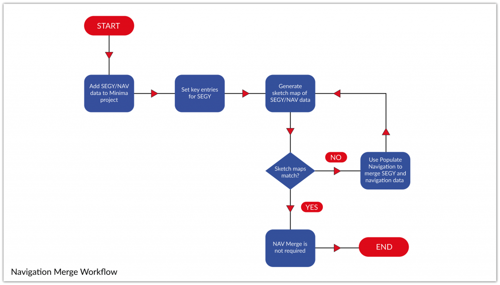
- GIS-ready navigation merge and shapefiles
- Flexible data selection and metadata extraction
- Contract compliance to industry standards
- Front-end data conditioning for workstation loading
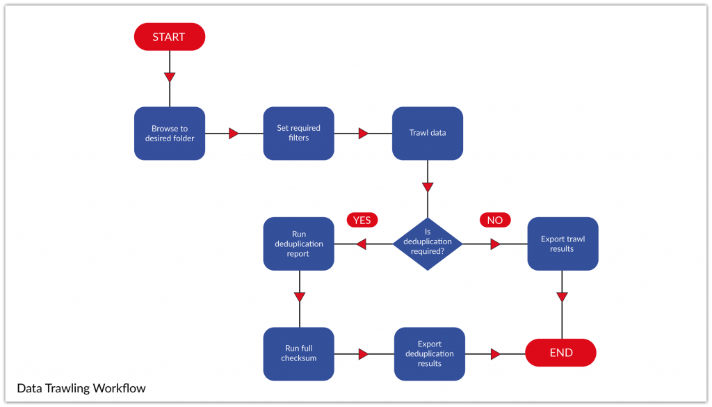
- Identification of potential duplicate files
- Disk data trawling and library modernisation
Predefined Workflows
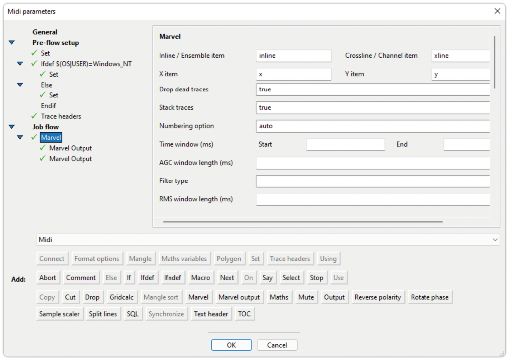
Marlin provides the user the option to run a series of broad and quick look workflows for everyday multi-output jobs as well as specialised targeted workflows to modify and condition the data.
The workflows provided by Midi through Marlin are separated into six different groups. The groups are as follows:
Analysis
- 2D/3D analysis
- Export textual headers
- Trace reports
Conditioning
- Merge data
- Data clean-up
- Phase rotation
- Reorder inlines
- Renumber shot points
- Populate navigation
Cutting SEGY
- Crop by CDP
- Crop by inline
- Crop by shotpoint
- Crop by coordinates
- Crop by shapefile
Full Workflow
- Trace headers
- Shapefile
- QC reports
Loading Workflows
- 2D shapefiles
- 3D shapefiles
SEGD Workflows
- Cropping
- Full workflow
- Split by FFID
The workflows are designed in a way to limit the requirement for user intervention. By simply defining the key byte locations (X/Y/inline/crossline/coordinate scalar for 3D or X/Y/CDP/SP for 2D) you can start the run within seconds.
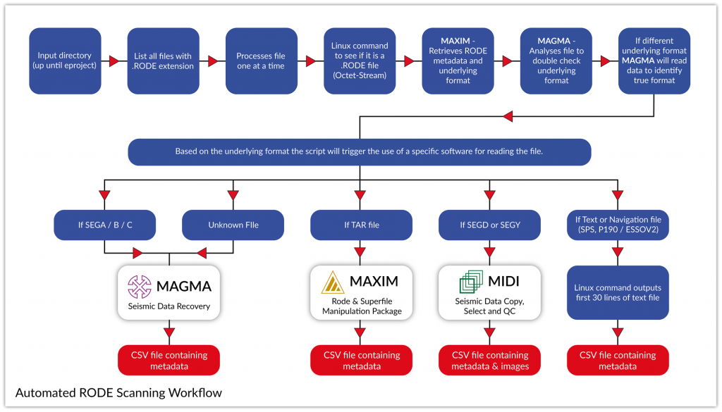
Rode Scanning
Troika was tasked by a client to create a solution for a RODE scanning project with a large number of files in unknown format. Troika supplied an automated solution to unencapsulate, identify seismic data, and extract metadata, the software then identified the format and called the correct process that should be used in the next phase. Troika’s automated solution resulted in the project completing over a year ahead of schedule and under budget.

